Active filter
- Search for "START"
- Sort by "Best results"
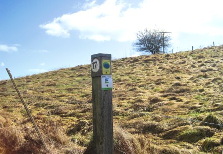
Around Nohn: water, vastness, and incense
Lenght: 11.4 km
Route: Kirche, Kirchstraße, 54578 Nohn to Kirche, Kirchstraße, 54578 Nohn
Difficulty: medium
Round trip, Public transportation

Chapel view Steffeln
Lenght: 7.6 km
Route: Steffeln community centre, Lindenstraße, 54597 Steffeln to Steffeln community centre, Lindenstraße, 54597 Steffeln
Difficulty: easy
Round trip, Public transportation

Genuss zu Fuß (Pleasure by foot)
Lenght: 7.5 km
Route: Hillesheim Str. - Fritz-von-Wille-Straße, 54578 Kerpen/ Eifel to Hillesheim Str. - Fritz-von-Wille-Straße, 54578 Kerpen/ Eifel
Difficulty: medium
Round trip, Public transportation
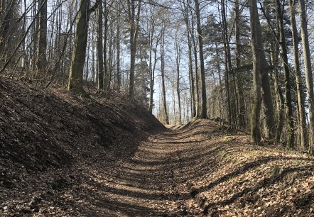
Gerolstein Forest Nature Trail
Lenght: 5 km
Route: Fuchsbau, Zur Büschkapelle, 54568 Gerolstein to Fuchsbau, Zur Büschkapelle, 54568 Gerolstein
Difficulty: easy
Family-friendly, Round trip, Public transportation
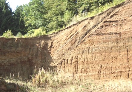
Hike around the Rockeskyller Kopf
Lenght: 4.4 km
Route: Parkplatz gegenüber der Kirche: Im Überecken, 54570 Rockeskyll to Parkplatz gegenüber der Kirche: Im Überecken, 54570 Rockeskyll
Difficulty: easy
Family-friendly, Round trip, Public transportation
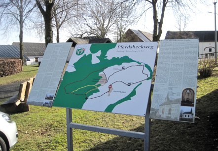
Horseback Trail Hinterhausen
Lenght: 7.1 km
Route: Kapelle Hinterhausen, Hinterhausener Straße , 54568 Gerolstein-Hinterhausen to Kapelle Hinterhausen, Hinterhausener Straße , 54568 Gerolstein-Hinterhausen
Difficulty: easy
Round trip, Public transportation
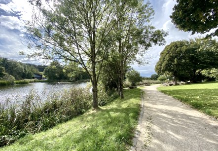
Kylltal Hike
Lenght: 14 km
Route: Tourist-Information Hillesheim, Am Markt 1, 54576 Hillesheim to Tourist-Information Hillesheim, Am Markt 1, 54576 Hillesheim
Difficulty: medium
Round trip, Public transportation
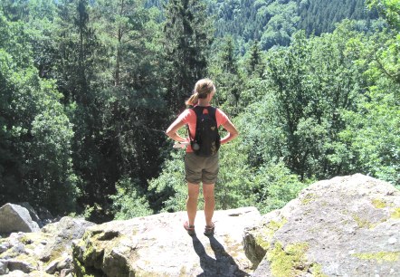
Millstone path
Lenght: 9.9 km
Route: Parkplatz (Müllenborner Straße 95) am Müllenborner See to Parkplatz (Müllenborner Straße 95) am Müllenborner See
Difficulty: medium
Round trip, Public transportation
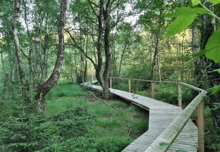
Ormont Moor Path
Lenght: 9.8 km
Route: Kirche St. Margareta, Kirchweg 1, 54597 Ormont to Kirche St. Margareta, Kirchweg 1, 54597 Ormont
Difficulty: medium
Round trip, Public transportation
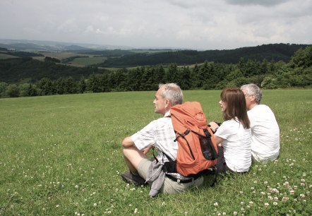
Quellenpfad (Springs Path)
Lenght: 6.6 km
Route: Parkplatz am Müllenborner See, 54568 Müllenborn to Parkplatz am Müllenborner See, 54568 Müllenborn
Difficulty: medium
Family-friendly, Round trip, Public transportation
