Active filter
- Search for "Land"
- Sort by "Best results"

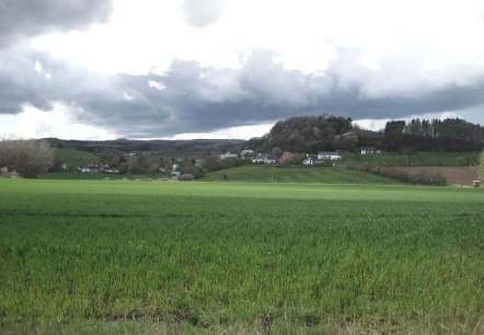
"Volcanoes, Water, Eifelosaurus" Oberbettingen
Lenght: 8.3 km
Route: Oberbettingen sports field, Lissendorfer Straße, 54578 Oberbettingen to Oberbettingen sports field, Lissendorfer Straße, 54578 Oberbettingen
Difficulty: easy
Family-friendly, Round trip, Public transportation
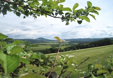
Panorama road Leudersdorf
Lenght: 9.8 km
Route: Gemeindehaus, 54579 Leudersorf to Gemeindehaus, 54579 Leudersorf
Difficulty: medium
Round trip, Public transportation

Wanderweg Nr. 14 Eigelbacher Maar
Lenght: 4.5 km
Difficulty: easy
Family-friendly, Round trip, Public transportation
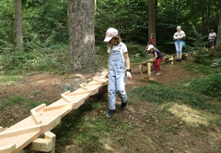
Nature trail with forest ball track Gerolstein
Lenght: 1.7 km
Difficulty: easy
Family-friendly, Round trip
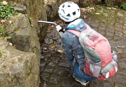
Fischbach-Drees bei Birresborn
Birresborn
The magnesium-calcium mineralisation here comes from sandstone and claystone as well as overlying volcanic rock. The high content of carbonic acid originates from the Eifel volcanism and gives the water the name ‘Säuerling’ (acidulous). A total of five springs are known in Birresborn, several of which were of great economic importance…
More information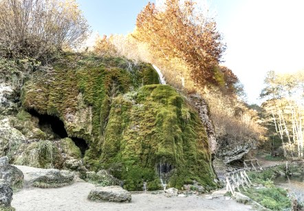
Growing waterfall Dreimühlen
Üxheim
The Dreimühlen waterfall is probably the most interesting waterfall in the Eifel. It was formed from limestone deposits of three spring tributaries of the Ahbach. Due to the constant deposition, the sinter bank is constantly "growing", which is where the name "growing waterfall" comes from…
More information
Adler- und Wolfspark Kasselburg
Pelm
The 20-hectare park around the historic castle complex from the 12th century with dense forests, lush meadows and diverse enclosures for birds of prey, wolves and other animals.
More information
Vulkaneifel-Pfad "Vulkane, Maare und Dreese"
Duppach
At the Eichholzmaar, the northernmost water-filled Maar of the Eifel, two attractive adventure trails (approx. 9 km per loop) were created. Three ferruginous springs with refreshing mineral water, rare birds and plants, the impressive volcano garden in Steffeln and the Knauf experience forge in Duppach are just some of the numerous attractions along the two circuits…
More information
Icorigium - ehemaliges römisches Kastell
Jünkerath
Remains of a street settlement with a fort: This is where the traffic between the metropolises once pulsed. The former Roman fort Icorigium was located on Agrippastrasse, which led from Cologne to Trier right across the Eifel.
More information