Active filter
- Search for "Land"
- Sort by "Best results"
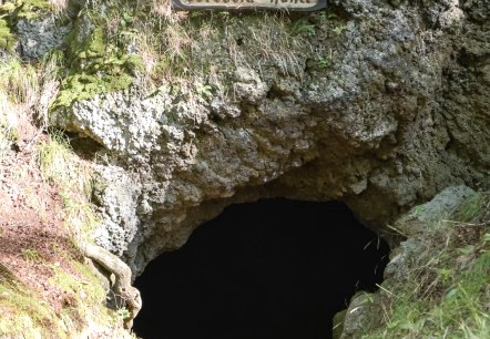
Mühlsteinhöhlen Hohenfels-Essingen
Hohenfels-Essingen
The three caves are located at Mühlenberg, north of Hohenfels-Essingen.
More information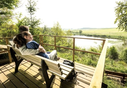
Vulkaneifel-Pfad "Vulkane, Maare und Dreese"
Duppach
At the Eichholzmaar, the northernmost water-filled Maar of the Eifel, two attractive adventure trails (approx. 9 km per loop) were created. Three ferruginous springs with refreshing mineral water, rare birds and plants, the impressive volcano garden in Steffeln and the Knauf experience forge in Duppach are just some of the numerous attractions along the two circuits…
More information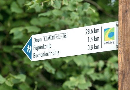
Vulkankrater Papenkaule
Gerolstein
The volcanic activity on Munterley has had several eruptions, the most notable being the crater of Papenkaule. The volcanic crater is about 80 m wide and 20 m deep. Today, the Papenkaule is a top-class geo- and biotope.
More information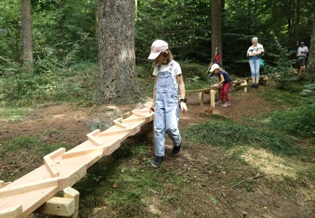
Nature trail with forest ball track Gerolstein
Lenght: 1.7 km
Difficulty: easy
Family-friendly, Round trip

Eichholzmaar Steffeln
Steffeln
Idyllically located between the two Eifel towns of Steffeln and Duppach on the volcanic path and the "Vulkane, Maare & Dreese" circular trail, the Eichholzmaar with a diameter of approx. 120 m and a maximum depth of 3 m is the smallest and northernmost water-filled Maar of the Eifel…
More information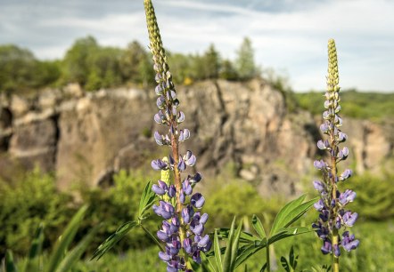
Vulkangarten - Steffeln
Steffeln
The visitor's magnet with its detailed geological phenomena around volcanism.
More information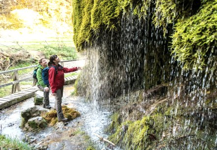
Dreimühlenweg (Three mill path)
Lenght: 7.7 km
Route: Parkplatz an der Ahbachstr. ( L 10 ), 54579 Ahütte to Parkplatz an der Ahbachstr. ( L 10 ), 54579 Ahütte
Difficulty: medium
Family-friendly, Round trip

Racing bike tour 90 km
Lenght: 90.6 km
Route: Hubertus-Rader-Förderzentrum - Waldstraße 17, 54568 Gerolstein to Hubertus-Rader-Förderzentrum - Waldstraße 17, 54568 Gerolstein
Difficulty: difficult
Round trip, Public transportation

Road bike tour 44 km
Lenght: 45.2 km
Route: Gerolstein town centre - Tourist Information, Bahnhofstraße 4, 54568 Gerolstein to Gerolstein town centre - Tourist Information, Bahnhofstraße 4, 54568 Gerolstein
Difficulty: medium
Round trip, Public transportation
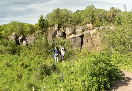
Steffeln-Auel Route
Lenght: 5.6 km
Route: Steffeln community centre, Lindenstraße, 54597 Steffeln to Steffeln community centre, Lindenstraße, 54597 Steffeln
Difficulty: medium
Round trip, Public transportation
