Active filter
- Search for "Land"
- Sort by "Best results"
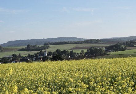
Maar-Runde Auel
Lenght: 5.6 km
Route: Church in Auel, An der Kirch, 54597 Auel to Church in Auel, An der Kirch, 54597 Auel
Difficulty: easy
Round trip, Public transportation
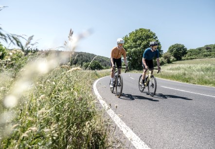
Racing bike tour 50 km
Lenght: 53.3 km
Route: Zentrum, 54568 Gerolstein (Brunnenstraße) to Zentrum, 54568 Gerolstein (Brunnenstraße)
Difficulty: medium
Round trip, Public transportation
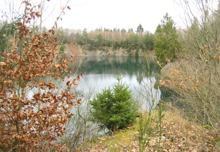
Rund um den Mordhügel (Around the murder hill)
Lenght: 12.1 km
Route: Gemeindehaus, Schulstraße, 54578 Nohn to Gemeindehaus, Schulstraße, 54578 Nohn
Difficulty: medium
Round trip, Public transportation

Tieferbach path
Lenght: 4.4 km
Route: Bus stop town centre, 54578 Oberbettingen to Bus stop town centre, 54578 Oberbettingen
Difficulty: medium
Round trip, Public transportation

Volcanoes, Maars & water springs (South) Geo-Roundtrip Duppach
Lenght: 10.5 km
Route: Hiking parking lot am Eichholzmaar to Hiking parking lot am Eichholzmaar
Difficulty: medium
Round trip, Public transportation

Vulkaneifel 360° for gravel bikers, start in Neroth
Lenght: 65.2 km
Route: Town centre (Layenstraße) of 54570 Neroth to Town centre (Layenstraße) of 54570 Neroth
Difficulty: difficult
Round trip


Tourist-Information Hillesheim
Hillesheim
Your professional partner for your holiday in the Vulkaneifel. As certified tourist-information and with the certification of the "ServiceQualtität Deutschland" we will gladly be of assistance to you and your holiday desires. Our overview of our service: - Holiday advice and booking service for accommodations- Organisation and handling of guided tours- Full service for travel groups- Ticket shop- Mail service- Information about the public transport…
More information

Tourist-Information Gerolstein
Gerolstein
Your professional partner for your holiday in the Vulkaneifel. As certified tourist-information and with the certification of the "ServiceQualtität Deutschland" we will gladly be of assistance to you and your holiday desires.
More information
Adventure E-Bike tour
Lenght: 48.5 km
Route: Tourist-Information, Bahnhofstraße 4, 54568 Gerolstein to Tourist-Information, Bahnhofstraße 4, 54568 Gerolstein
Difficulty: difficult
Round trip, Public transportation
