Active filter
- Search for "Land"
- Sort by "Best results"
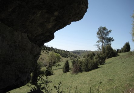
Birgel Wanderweg LB 1
Lenght: 7.2 km
Route: Car park at the Birgel community centre, Wiesbaumer Str. 1, 54587 Birgel to Car park at the Birgel community centre, Wiesbaumer Str. 1, 54587 Birgel
Difficulty: easy
Family-friendly, Round trip, Public transportation
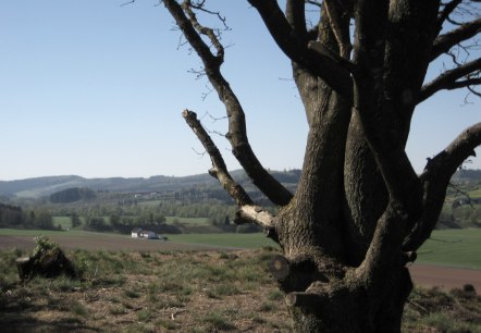
Birgel Wanderweg LB 4
Lenght: 7.1 km
Route: Car park at the Birgel community centre, Wiesbaumer Str. 1, 54587 Birgel to Car park at the Birgel community centre, Wiesbaumer Str. 1, 54587 Birgel
Difficulty: medium
Family-friendly, Round trip, Public transportation


Church of the Redeemer Gerolstein
Gerolstein
24 million glittering mosaic stones inspire thousands of church visitors every year. To protect the valuable mosaics, the church can only be visited in conjunction with a guided tour.
More information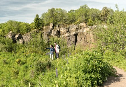
Geo-Wanderweg "Vulkane, Maare und Dreese"
Lenght: 20.9 km
Route: Eichholzmaar hiking car park, on the L24 country road between Steffeln and Duppach to Eichholzmaar hiking car park, on the L24 country road between Steffeln and Duppach
Difficulty: medium
Round trip, Public transportation
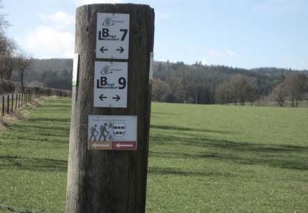
Gönnersdorf Rundweg (rot): 380 Millionen Jahre zurück
Lenght: 3.6 km
Route: Village square and fountain square, Hauptstraße, 54584 Gönnersdorf to Village square and fountain square, Hauptstraße, 54584 Gönnersdorf
Difficulty: easy
Round trip, Public transportation
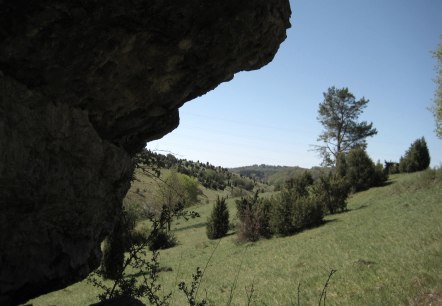
Gönnersdorf: "Hippelsteinchen" and distant views
Lenght: 7.6 km
Route: 54584 Gönnersdorf, Hauptstr. small car park with shelter and information boards
to 54584 Gönnersdorf, Hauptstr. small car park with shelter and information boards
Difficulty: easy
Family-friendly, Round trip, Public transportation
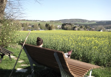
Lissendorf Wanderweg LB 7
Lenght: 8.7 km
Route: Pfarrkirche Lissendorf, Burgstraße, 54587 Lissendorf to Pfarrkirche Lissendorf, Burgstraße, 54587 Lissendorf
Difficulty: medium
Family-friendly, Round trip, Public transportation
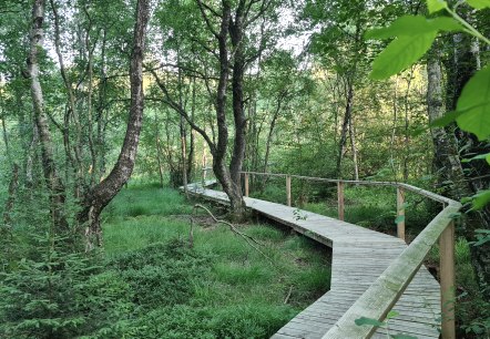
Ormont Moor Path
Lenght: 9.8 km
Route: Kirche St. Margareta, Kirchweg 1, 54597 Ormont to Kirche St. Margareta, Kirchweg 1, 54597 Ormont
Difficulty: medium
Round trip, Public transportation
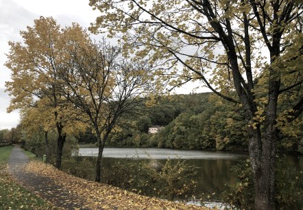
Stadtkyll hiking trail SY 4
Lenght: 14.9 km
Route: Information board at the church square, Hauptstr., 54589 Stadtkyll to Information board at the church square, Hauptstr., 54589 Stadtkyll
Difficulty: medium
Round trip, Public transportation
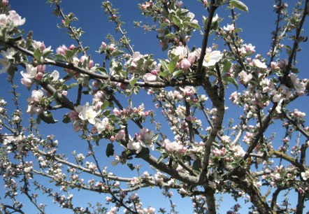
Stadtkyll Wanderweg SY 1
Lenght: 4.8 km
Route: Information board at the church square, Hauptstr. , 54589 Stadtkyll to Information board at the church square, Hauptstr. , 54589 Stadtkyll
Difficulty: easy
Family-friendly, Round trip, Public transportation
