Your search for Land returned Land hits

Bitte akzeptieren Sie den Einsatz aller Cookies, um den Inhalt dieser Seite sehen zu können.

Alle Cookies Freigeben

Active filter

  • Search for "Land"
  • Sort by "Best results"

Refine your search

ET-2023-205-Adler & Wolfspark Kasselburg, Pelm-©Ei

Schäferkarren im Adler- und Wolfspark Kasselburg

Pelm

  • car parking lot
  • non-smokers
Read more
Ferienwohnung am Felsenpfad - Gartenterrasse, © Touristik GmbH Gerolsteiner Land > A. Kube

Vulkaneifel-Ferienwohnungen am Felsenpfad

Gerolstein

  • car parking lot
  • WiFi
  • non-smokers
Read more
Stellplatz Huhn, © Udo Pick, Landhaus Eichelseifen

Wohnmobilstellplatz Vulkaneifel - Landhaus Eichelseifen

Mürlenbach

Our two motorhome parking spaces Biene and Huhn are nestled in the picturesque nature of the Vulkaneifel, surrounded by dense forests and unparalleled tranquility. Located between the charming towns of Bitburg, Gerolstein, and Prüm, our parking space is the ideal starting point to explore the beauty of the surroundings…

More information
image00039, © Touristik GmbH Gerolsteiner Land

Rund um den Arensberg

Lenght: 10.3 km
Route: Community centre in Zilsdorf, Antoniusweg 1, 54578 Walsdorf-Zilsdorf       to Community centre in Zilsdorf, Antoniusweg 1, 54578 Walsdorf-Zilsdorf
Difficulty: medium
Round trip, Public transportation
More information
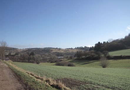
Green fields and rolling hills stretch out under a clear blue sky. A country lane leads through the landscape., © Touristik GmbH Gerolsteiner Land, Ute Klinkhammer

Gönnersdorf Rundweg (blau) mit Lehrpfad zur Dorfgeschichte

Lenght: 5.5 km
Route: Village and fountain square, Hauptstraße, 54584 Gönnersdorf     to Village and fountain square, Hauptstraße, 54584 Gönnersdorf
Difficulty: easy
Family-friendly, Round trip, Public transportation

More information
A person stands on a rock and looks out over a densely wooded valley. She is carrying a rucksack and enjoying the view., © Touristik GmbH Gerolsteiner Land, Ute Klinkhammer

Millstone path

Lenght: 9.9 km
Route: Parkplatz (Müllenborner Straße 95) am Müllenborner See to Parkplatz (Müllenborner Straße 95) am Müllenborner See
Difficulty: medium
Round trip, Public transportation
More information
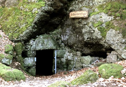
A moss-covered rock with a dark cave entrance, labeled 'Schwedenfeste'. Autumn leaves cover the ground., © Touristik GmbH Gerolsteiner Land

Zähbasaltweg (Tough basalt trail)

Lenght: 7.1 km
Route: Community centre Hohenfels-Essingen, corner Schulstraße/ Auf Erd, 54570 Hohenfels-Essingen to Community centre Hohenfels-Essingen, corner Schulstraße/ Auf Erd, 54570 Hohenfels-Essingen
Difficulty: medium
Family-friendly, Round trip, Public transportation

More information
Hotel_Garni_Logo_2015_neu

Am Brunnenplatz, Hotel Garni

Gerolstein

  • car parking lot
  • WiFi
  • non-smokers
Read more
Zimmerbeispiel Premiumkategorie

Augustiner Hotel

Hillesheim

  • car parking lot
  • WiFi
  • pets welcome
  • non-smokers
  • restaurant
  • sauna
Read more
Wohnmobil

Campingpark Kronenburger See

Hallschlag

  • car parking lot
  • WiFi
  • pets welcome
  • sauna
Read more