Active filter
- Sort by "Best results"

Accessible hiking trails
Experiencing nature is possible for everyone in the Laacher See volcanic region!.
More informationLocal hiking & walking trails
Enjoy nature and experience culture on the numerous local trails in the region.
More information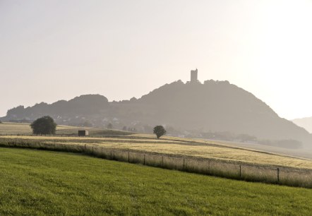
Stage: Oberzissen - Bad Neuenahr (20 km)
More informationAccommodation search
More information
Eifelsteig stage 02
Lenght: 17 km
Route: Banhofstraße (Wanderstation/Pferdeweiher), 52159Roetgen to Parkplatz Burgau, 52156 Monschau
Difficulty: medium

Eifelsteig Stage 09
Lenght: 22.3 km
Route: Busbahnhof, Viehmarktplatz, 54576 Hillesheim to Am Bahnhof, 54568 Gerolstein
Difficulty: medium
Public transportation

Eifelsteig Stage 10
Lenght: 23.7 km
Route: Am Bahnhof, 54568 Gerolstein to Am Bahnhof, Stadtparkhaus, 54550 Daun
Difficulty: difficult
Public transportation

Eifelsteig Stage 15
Lenght: 17 km
Route: 54306 Kordel to 54290 Trier, Parking Weisshaus (+2,5 km to citycentre Trier)
Difficulty: medium
Public transportation

Eifelsteig Stage 13
Lenght: 20.5 km
Route: Himmerod 3, 54534 Kloster Himmerod to 54518 Bruch
Difficulty: easy
Public transportation