Spring hiking

Everything is blossoming and thriving - spring is here! And what better way to explore the region's nature than on the well-developed hiking trails through the beautiful meadows and forests of Gerolsteiner Land.
Share content:

Bitte akzeptieren Sie den Einsatz aller Cookies, um den Inhalt dieser Seite sehen zu können.

Alle Cookies Freigeben
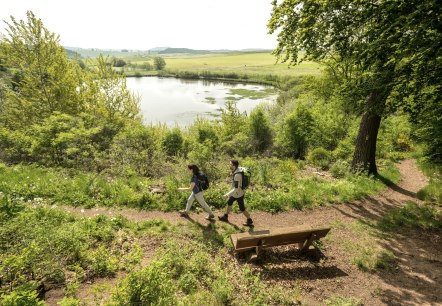
Two hikers on a path at Eichholzmaar in the Eifel. The Maarsee lake and green landscape in the background. A bench stands at the edge of the path., © Eifel Tourismus GmbH, Dominik Ketz

Volcanoes, Maars & water springs (South) Geo-Roundtrip Duppach

Lenght: 10.5 km
Route: Hiking parking lot am Eichholzmaar to Hiking parking lot am Eichholzmaar
Difficulty: medium
Round trip, Public transportation

More information
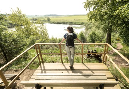
Rest at Eichholzmaar, © Eifel Tourismus GmbH, Dominik Ketz

Volcanoes, Maars & water springs (North) Geo-Roundtrip Steffeln

Lenght: 10.5 km
Route: Hikers' car park at Eichholzmaar, L24, 54579 Steffeln to Hikers' car park at Eichholzmaar, L24, 54579 Steffeln
Difficulty: medium
Round trip, Public transportation

More information
A narrow hiking trail leads through a dense, sun-drenched forest with tall trees and lush greenery., © Touristik GmbH Gerolsteiner Land, Leonie Post

Hirschbergsattel Birgel, Route 1

Lenght: 9.3 km
Route: Birgel community centre, Wiesbaumer Straße, 54587 Birgel to Birgel community centre, Wiesbaumer Straße, 54587 Birgel
Difficulty: medium
Family-friendly, Round trip, Public transportation
More information
A wooden walkway winds its way through a dense, green forest with tall trees and lush foliage., © Touristik GmbH Gerolsteiner Land

Ormont Moor Path

Lenght: 9.8 km
Route: Kirche St. Margareta, Kirchweg 1, 54597 Ormont to Kirche St. Margareta, Kirchweg 1, 54597 Ormont
Difficulty: medium
Round trip, Public transportation

More information
Rocky outcrop in the foreground, green hilly landscape with trees and blue sky in the background., © Touristik GmbH Gerolsteiner Land

Gönnersdorf: "Hippelsteinchen" and distant views

Lenght: 7.6 km
Route: 54584 Gönnersdorf, Hauptstr. small car park with shelter and information boards   to 54584 Gönnersdorf, Hauptstr. small car park with shelter and information boards
Difficulty: easy
Family-friendly, Round trip, Public transportation

More information
Vulcanpfad, Eichholzmaar , © © Eifel Tourismus GmbH, Dominik Ketz

The Eifelsteig - where rock and water accompany you

From Aachen to Trier, the Eifelsteig crosses the fascinating low mountain range region on around 313 kilometres. The motto of the top trail "Where rock and water accompany you" becomes particularly tangible on the four stages through the Gerolsteiner Land.

More information