Stadtkyll Wanderweg SY 2
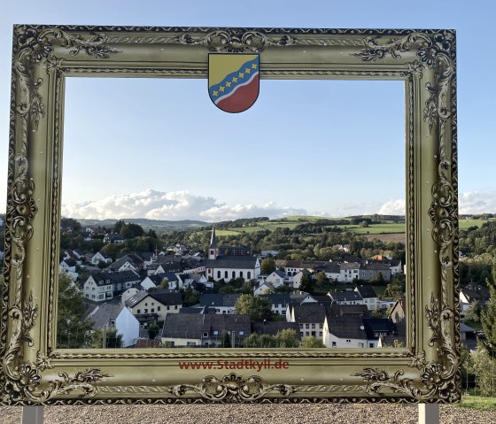
Stadtkyll
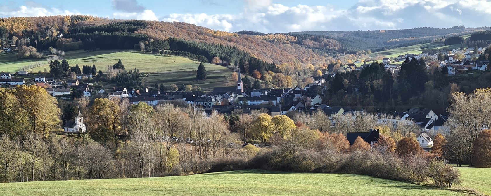
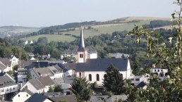
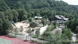
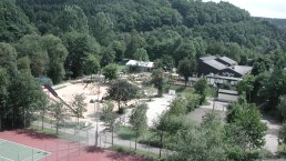
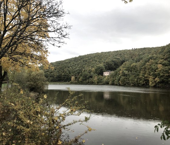
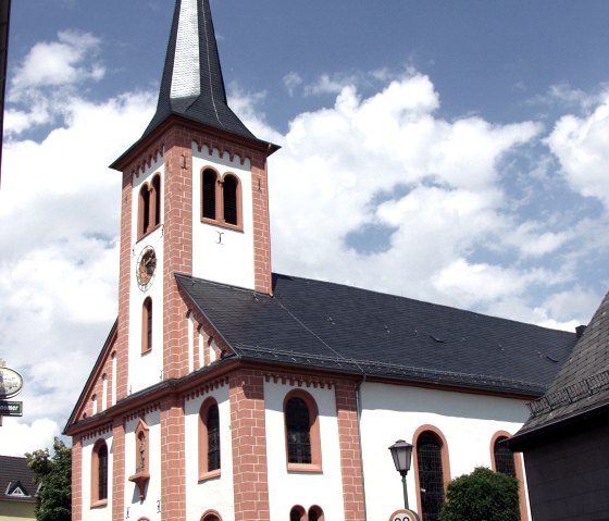
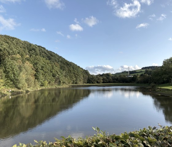
The circular tour on the SY 2 hiking trail - over the forest heights into the Wirftbach valley - leads from the starting point at the church square up to the Kleenerich weekend house area. The circular route then continues south and then enters the small Ladbach valley. Descending through the Ladbach valley, we reach the Wirfttal valley with the Landal vacation park and the two reservoirs.
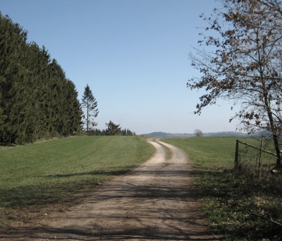
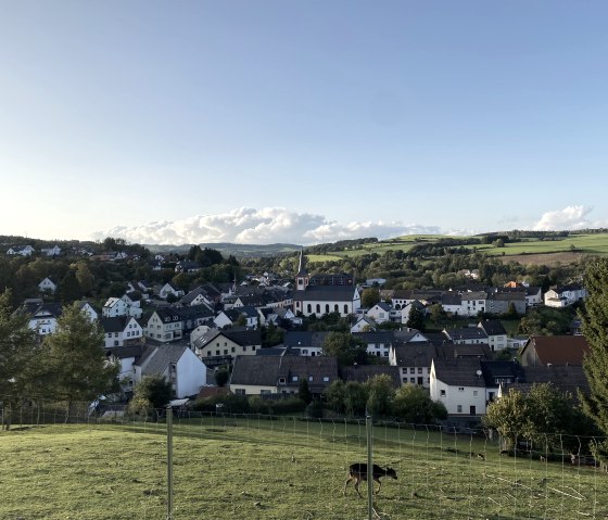
The tour leads from an altitude of 450 m above sea level up to almost 570 m. The total length of the circular hiking tour is 7.5 km. Special highlights along the hiking trail are the wild meadows on the heights south-east of the village, the small Ladbach valley and the two reservoirs in the Wirfttal. There is a fallow deer enclosure along the route. In the Wirfttal valley, we pass 2 reservoirs that were originally planned as water retention basins, but no longer fully fulfill this function. There is a natural water treading basin in the Ladbach valley.
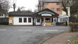
The restaurants in Stadtkyll and at Landal Ferienpark look forward to your visit.
Marking of the tour:
