Kerschenbach Wanderweg KB 3 - Arnika-Route
Kerschenbach
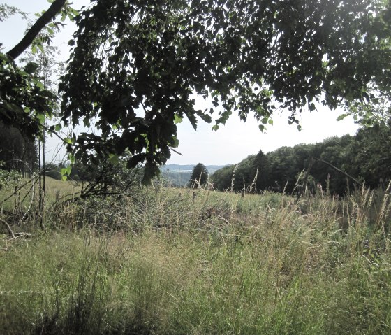
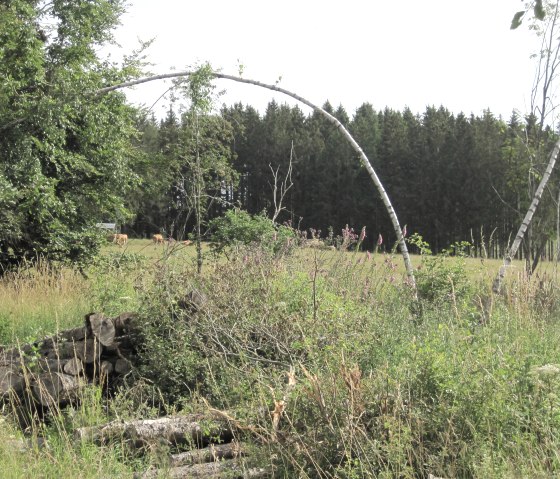
The KB 3 Arnika-Route circular trail combines nature and culture. The trail leads past the banks of the Dürrbach stream before heading uphill towards Kronenburg and crossing the border between Rhineland-Palatinate and North Rhine-Westphalia. The arnica meadow is located in the Honertseifen and Heinborn nature reserves. Arnica (Arnica montana) is one of the traditional medicinal plants and is a protected species. It grows mainly on mountain meadows, mat-grass and peat rush grasslands. However, the population has dwindled due to habitat loss, intensive utilisation and illegal collection from the wild.
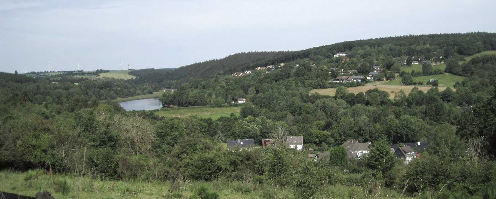
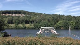
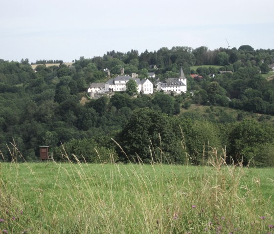
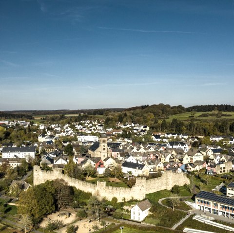
From here, the path leads downhill towards Kronenburg. In between, there are beautiful views of Lake Kronenburg and the historic castle town with its rows of medieval houses.
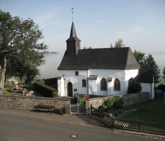
At the beginning or end of the hike, it is worth visiting the chapel of St Lucia. Construction began in the 14th century. Different styles of art can be seen in the small chapel.
The circular route is signposted in both directions with the KB 3 Arnica Route logo.
