Eifel crime hiking trail Route II
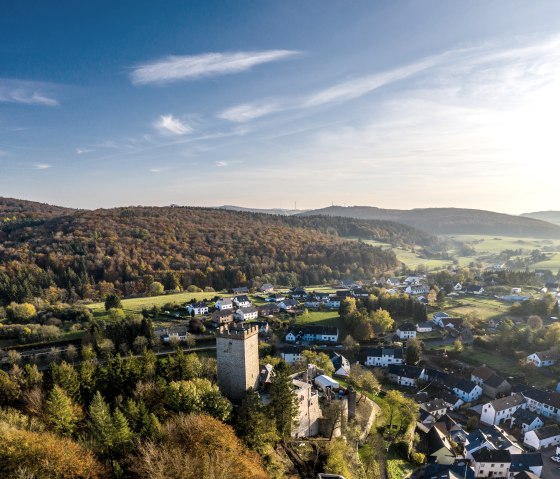
Kerpen
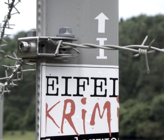
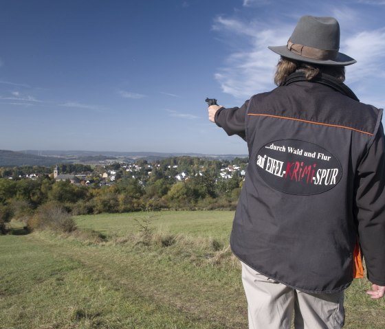
In 2004, the topic of crime took off in the Hillesheimer Land. More and more guests discovered the Eifelkrimis as a travel guide and literally walked in the footsteps of criminals and investigators. The fan base of the Eifelkrimis continues to grow! In the meantime, the Eifel is Germany's No. 1 Crime Landscape. The often intensive and loving description of landscapes and places in the crime novels makes many of the crime novels at the same time also a kind of travel guide, which makes you curious about the country in which such horrible things happen. Josef Zierden collected and described hundreds of locations in his "Eifel Crime Guide" and thus created a standard work for lovers of crime fiction in the Eifel. The Eifelkrimi hiking trail connects 11 locations with each other, whereby it is divided into two routes of 18 and 20 km in length. It is marked clockwise with the well-known logo and directional arrows, so that no scene remains undiscovered.
Looking at the crime map, the viewer quickly notices that the locations in the Hillesheim area are piling up. This is at the same time the surroundings of Jacques Berndorf's former home and also the surroundings of Ralf Kramp's residence - so it is no coincidence. They know the area like the back of their hand. It was precisely these findings that led us to designate the Eifelkrimi hiking trail. The hike to the locations is completely safe.
An accompanying brochure in a handy format provides the hikers with the necessary information: map overviews, detailed descriptions of the locations, quotes from the crime novels and directions (available at the Tourist Information for €4.50).
Marking of the tour:
