Type of tour:Hiking
-Difficulty:moderate
Duration2:30 h
Length8.1 km
Ascent120 hm
Descent120 hm
Elevation profile
StartCommunity centre, Stadtkyller Straße, 54589 Kerschenbach
DestinationCommunity centre, Stadtkyller Straße, 54589 Kerschenbach
Description
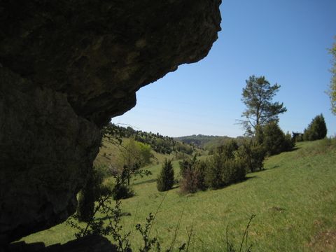
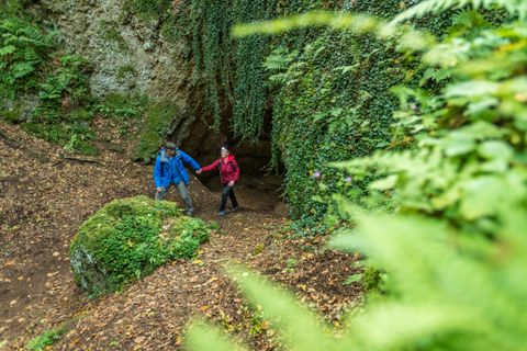
The hiking trail KB 2 leads through the forest area southwest of Kerschenbach with a varied course and a lot of forest on approx. 8 km as a circular trail around the village.
On the 8 km long circular trail with a lot of forest, we roam through the hilly low mountain region around the Eifel village of Kerschenbach. There are numerous information points along the way with special information on various topics such as war events, wayside crosses, trenches or the local chapel of St. Luzia.
We start in the centre of the village at the community centre and follow the Stadtkyll road for a while in the direction of Stadtkyll. Then we cross the Kerschenbach stream and turn left onto the farm track. Ahead of us now lies a generous loop through the Kerschenbach valley. At the end of the valley, we pass the holiday village "Im Killerberg". We meet the K64, which we leave to the left and then turn right again. Now we first walk through an extensive forest area, then parallel to the Kalkerbach stream, which we cross to the right. On the opposite side of the stream, we then walk back towards Kerschenbach, cross the Dürbach and return to the starting point via Dorfstraße.
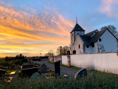
For all those who still feel like it, about 150 m from the parish hall is the chapel of St. Luzia (follow the signs). Even though it is closed, the history of its construction is clearly visible from the outside. It is still worth a visit.
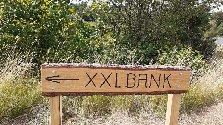
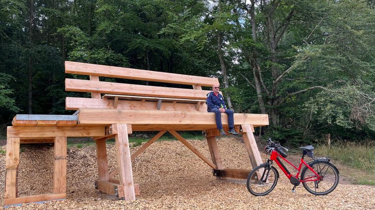
A huge XXL bench was installed on the KB2 walking trail in 2023. From up here, there is a breathtaking view of the countryside.
Impressions

Further information
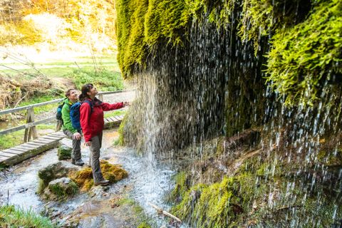
From the starting point at the community centre, we first walk downhill along Stadtkyller Strasse into the Kerschenbach valley. After crossing the road embankment, we turn left and walk along the old Kerschenbach - Stadtkyll connecting road through the Höhlenberg until shortly before the bridge over the B 51. Here we turn right and reach the Kyllerberg holiday area and the K 64. At the country road, we turn left towards Stadtkyll and then, shortly before the bridge over the B 5, turn right onto the forest path to Haus Kalkerheck. Shortly before Haus Kalkerheck at the T-junction, we turn right and after approx. 200 metres reach an open meadow area with the edge of the forest. We walk past the edge of the forest and after approx. 500 metres turn right onto a meadow path, which we follow straight ahead. The path soon passes through woodland and after approx. 1 km comes to a forest path that crosses it. Here we turn right, cross the Kalkerbach stream and then turn right to continue down the Kalkerbach valley for approx. 800 metres to the water playground at the Kalkerbach stream.
Here we take the dirt track leading straight uphill back to the village and the start at the community centre.
Please note: a section of the trail (approx. 400 metres) crosses the K 64 district road, please pay attention to the traffic!
KB2
Round trip
Public transportation
scenic
Refreshment stops
Family-friendly
Public transport
Bus route 541 runs from Jünkerath, railway station to Kerschenbach, community centre
Directions
From the north: take the A1 motorway to the Blankenheim exit, then follow the B51 towards Trier until the Stadtkyll exit - in Stadtkyll follow the signs for Kerschenbach
From the south: via the A 60 motorway to the Prüm exit - continue on the B 51 towards Cologne until the Stadtkyll exit - then follow the signs for Kerschenbach in the village
Parking
Free car park at the community centre, Stadtkyller Str. 2, 54589 Kerschenbach
Touristik GmbH Gerolsteiner Land
Burgberg 22
54589 Stadtkyll