Type of tour:Hiking
-Difficulty:easy
Duration2:15 h
Length8.5 km
Ascent111 hm
Descent111 hm
Elevation profile
StartÜxheim church, Kirchstr. 54579 Üxheim or car park at the cemetery, Schulstr.
DestinationÜxheim church, Kirchstr. 54579 Üxheim or car park at the cemetery, Schulstr.
Description
The landscape on this hike is impressive, and beautiful views of the Gerolstein region open up again and again.
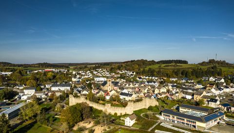
We start the hike around Üxheim in the centre of the village at the church and leave the village along the Kirchstraße south-east towards Ahütte. We turn right into the Schulstraße and follow this road until we meet the K74. Here we turn left, follow the K74 to the height of Dauner Straße and then turn left again following the path markings.
Now we walk past rocks and meadows in the direction of Ahütte. Shortly before entering the village, we take the path "Rohrsbach", then a little to the left across the L70 and then turn right again into the path "Im Erzberg". We cross the Kirbach and then follow the path to the left.
The landscape is impressive and wonderful views over the Gerolsteiner Land open up again and again. After a good 2 hours and 15 minutes, we reach our starting point again at the church in Üxheim.
Impressions
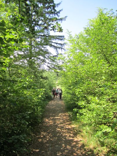
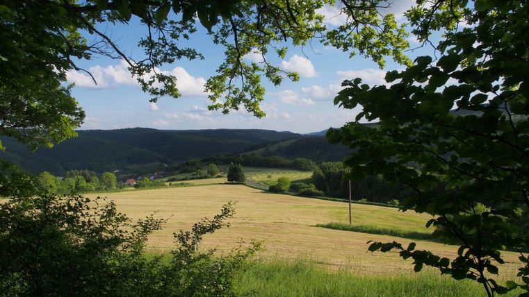
Further information
The entire route is well signposted with a logo.
With the church behind us, we keep left and turn right into Schulstraße. We follow this road until we reach the cemetery and have to turn left along the K74 for a short distance before turning left onto a meadow path. We follow this to Ahütte. After crossing the road, we keep left uphill and turn right into the road ‘Im Erzberg’. We now continue along forest and meadow paths along the Kirbach stream to the highest point of our hike. From there you have a wide panoramic view over the landscape as far as the Aremberg. We come to a gravel path that leads slightly downhill before turning right at the crossroads. Later, we take the field path to the left and return to Üxheim.
- Hiking in the Eifel is great fun if you are well prepared.
- Carry a rucksack with drinks, provisions and a mobile phone.
- For your own safety, please always stay on the designated paths.
A marked church with the words ‘Üxheim Runde’ above it and ‘Üxheim’ below it.

Round trip
Refreshment stops
Family-friendly
Public transport
Take the RufBus line 538 from Hillesheim to Üxheim
Directions
Please use the navigation-enabled start address in the Parking section to enter it into your navigation device.
Parking
Free car parks: Üxheim Kirche, Kirchstr., 54579 Üxheim or car park at the cemetery, Schulstr.